


For the first time, Uzbekistan will present civilizations and discoveries on digital maps

The “Wall of civilizations and discoveries” project being developed at the museum of the Center of Islamic Civilization in Uzbekistan is currently one of the most important exhibition directions of great scientific significance.
This wall is approximately 260 meters long and 8 meters high. In order to present major historical and cultural processes through modern museum technologies, the wall is divided into two main parts:
- The upper part consists of bas-reliefs based on visual art and interconnected storylines.
- The lower part contains chronological information covering scientific discoveries and cultural achievements.
As noted during a meeting between the Center’s researchers and representatives of the Tashkent Cartography Factory, a comprehensive system of electronic maps will be introduced in the informational section of the wall. These maps will not only show the history of civilizations but also the regions where scientific and educational discoveries were made, along with the political and geographical contexts of different periods.
Specially prepared information will cover the pre-Islamic era, the First Renaissance, the Second Renaissance, and the foundation of the Third Renaissance – the New Uzbekistan.
Following the discussions with Bakhtiyor Yuldashev and Anna Tikhonina from the Tashkent Cartography Factory, as well as the Center’s Chief Researcher Zohidulla Munavvarov and Senior Researcher Ravshan Khudayberganov, a special working group was established under the Center’s initiative. The group includes specialists from leading cartographic institutions in the country, particularly the Tashkent Cartography Factory, as well as experts from universities and research centers. Its main task is to reconstruct historical maps based on authentic scholarly sources, adapt them into digital formats using modern technology, and present them interactively.
Work has already begun on selecting and editing historical maps. For example, maps will vividly and academically present information about historical sites such as the Ma’mun Academy in Khorezm, the period of its activity, geopolitical conditions, and its place in world civilization. These maps will also be presented interactively through monitors, allowing visitors to explore them on touchscreens, zoom in on details, and gain a clear understanding of the geography of historical events, – said Chief Researcher Zohidulla Munavvarov.
As emphasized during the meeting, the maps will be prepared based on manuscripts, geographical treatises, and historical works. At the first stage, a concept for 30–40 maps on priority themes is being developed.
Notably, this project is designed to present historical knowledge to the public in a modern and impactful way, introduce innovative approaches in museum pedagogy, and lay the groundwork for new research in cartography.
Through this initiative, the Center of Islamic Civilization is becoming an important scientific and practical institution dedicated to presenting national and scholarly heritage on the international stage.
Information service of the Center of Islamic Civilization
Most read
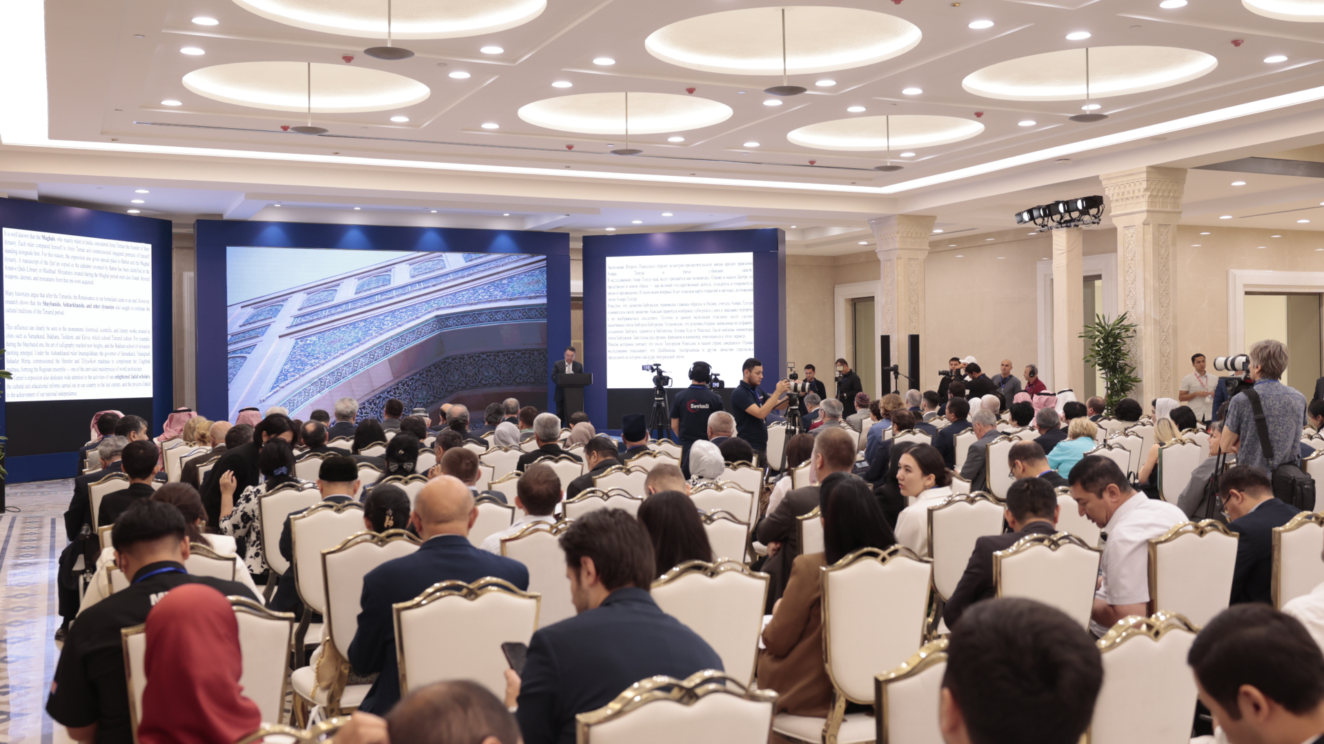
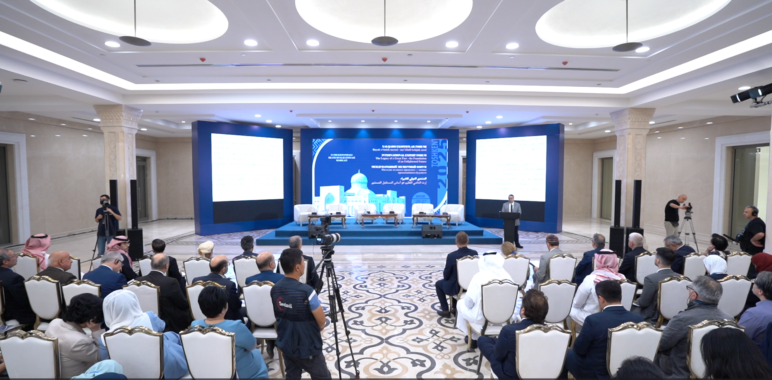
Over 100 experts from more than 20 countries of the world are in Tashkent!
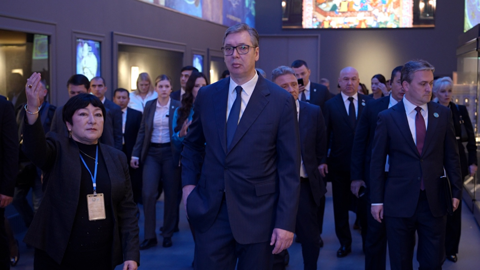
President of Serbia Aleksandar Vučić visited the Islamic Civilization Center in Uzbekistan
The Center for Islamic Civilization – a global platform leading towards enlightenment
